व्यापार युद्ध का नया मोड़: चीन ने अमेरिकी वस्तुओं पर टैरिफ 125% तक बढ़ाया
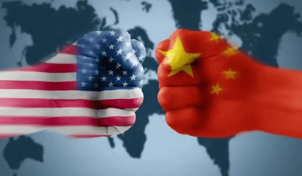
वैश्विक अर्थव्यवस्था एक बार फिर दो महाशक्तियों—संयुक्त राज्य अमेरिका और चीन—के बीच चल रहे व्यापार युद्ध के नए दौर की गवाह बन रही है। 12 अप्रैल, 2025 से प्रभावी होने वाली एक महत्वपूर्ण घोषणा में, चीन ने सभी अमेरिकी आयातों पर टैरिफ को 84% से बढ़ाकर 125% करने का फैसला किया है। यह कदम अमेरिका द्वारा चीनी वस्तुओं पर पहले से लागू 145% टैरिफ के जवाब में देखा जा रहा है। दोनों देशों के बीच तनावपूर्ण व्यापारिक रिश्तों में यह नवीनतम वृद्धि वैश्विक आपूर्ति श्रृंखलाओं, उपभोक्ता कीमतों और अंतरराष्ट्रीय आर्थिक स्थिरता पर गहरा प्रभाव डाल सकती है। इस ब्लॉग पोस्ट में, हम इस निर्णय के कारणों, इसके संभावित परिणामों और वैश्विक व्यापार पर इसके प्रभावों का विश्लेषण करेंगे।
व्यापार युद्ध की पृष्ठभूमि
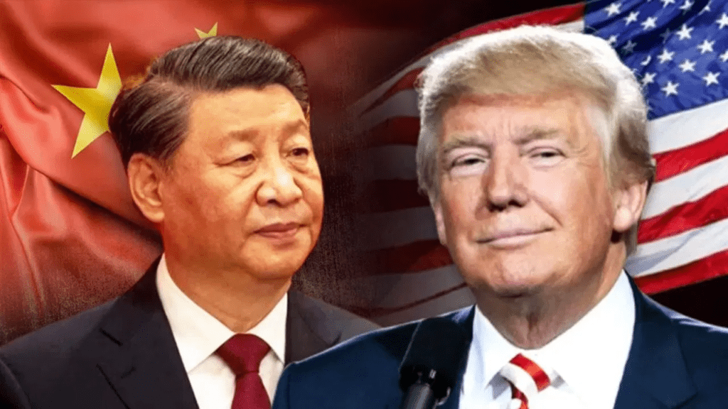
चीन और अमेरिका के बीच व्यापार युद्ध की शुरुआत 2018 में हुई थी, जब तत्कालीन अमेरिकी राष्ट्रपति डोनाल्ड ट्रम्प ने चीनी आयातों पर टैरिफ लगाने की शुरुआत की थी। इसका उद्देश्य अमेरिकी व्यापार घाटे को कम करना, बौद्धिक संपदा की चोरी को रोकना और घरेलू उद्योगों को बढ़ावा देना था। जवाब में, चीन ने भी अमेरिकी वस्तुओं पर जवाबी टैरिफ लगाए, जिससे दोनों देशों के बीच टैरिफ की होड़ शुरू हो गई।
2025 तक, यह व्यापार युद्ध और अधिक जटिल हो चुका है। अमेरिका ने हाल ही में चीनी टेक्नोलॉजी, स्टील, और अन्य सामानों पर 145% टैरिफ लागू किए, जिसे चीन ने “अनुचित व्यापार नीति” करार दिया। इसके जवाब में, चीन ने अपनी नवीनतम टैरिफ वृद्धि की घोषणा की, जिसके तहत अमेरिकी कृषि उत्पादों, ऑटोमोबाइल, और तकनीकी उपकरणों सहित सभी आयातों पर 125% टैरिफ लागू होगा। यह कदम दोनों देशों के बीच संबंधों में एक नया तनावपूर्ण अध्याय शुरू करता है।
चीन के टैरिफ बढ़ाने के कारण
चीन का यह निर्णय कई कारकों का परिणाम है:
- जवाबी कार्रवाई: अमेरिका द्वारा चीनी वस्तुओं पर उच्च टैरिफ लगाने को चीन ने अपने घरेलू उद्योगों के लिए खतरा माना है। 125% टैरिफ का कदम अमेरिका को यह संदेश देता है कि चीन भी अपने हितों की रक्षा के लिए कठोर कदम उठा सकता है।
- घरेलू उद्योगों की सुरक्षा: चीन की अर्थव्यवस्था में घरेलू उत्पादन और नवाचार को बढ़ावा देना एक प्रमुख प्राथमिकता रही है। उच्च टैरिफ से अमेरिकी उत्पादों की कीमतें बढ़ेंगी, जिससे चीनी उपभोक्ता स्थानीय विकल्पों की ओर आकर्षित होंगे।
- राजनीतिक संदेश: यह कदम केवल आर्थिक ही नहीं, बल्कि राजनीतिक भी है। चीन वैश्विक मंच पर अपनी स्थिति को मजबूत करना चाहता है और यह दिखाना चाहता है कि वह अमेरिकी दबाव के आगे नहीं झुकेगा।
- आर्थिक दबाव: वैश्विक मंदी और आपूर्ति श्रृंखला में व्यवधानों के बीच, चीन अपनी अर्थव्यवस्था को स्थिर रखने के लिए कदम उठा रहा है। टैरिफ से होने वाली आय का उपयोग घरेलू उद्योगों को सब्सिडी देने और बुनियादी ढांचे में निवेश के लिए किया जा सकता है।
वैश्विक व्यापार पर प्रभाव
चीन के इस फैसले का वैश्विक व्यापार और अर्थव्यवस्था पर व्यापक प्रभाव पड़ने की संभावना है। निम्नलिखित कुछ प्रमुख क्षेत्र हैं जहां इसका असर दिख सकता है:
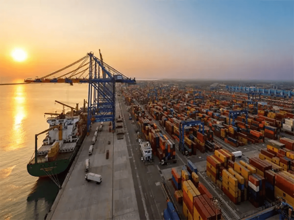
1. आपूर्ति श्रृंखला में व्यवधान
चीन और अमेरिका वैश्विक आपूर्ति श्रृंखला के दो सबसे बड़े केंद्र हैं। उच्च टैरिफ से दोनों देशों के बीच व्यापार कम होगा, जिससे कंपनियों को वैकल्पिक आपूर्तिकर्ताओं की तलाश करनी पड़ेगी। उदाहरण के लिए, अमेरिकी कंपनियां जो चीनी बाजार पर निर्भर हैं, जैसे कि Apple या Tesla, को अपनी रणनीति में बदलाव करना पड़ सकता है।
2. उपभोक्ता कीमतों में वृद्धि
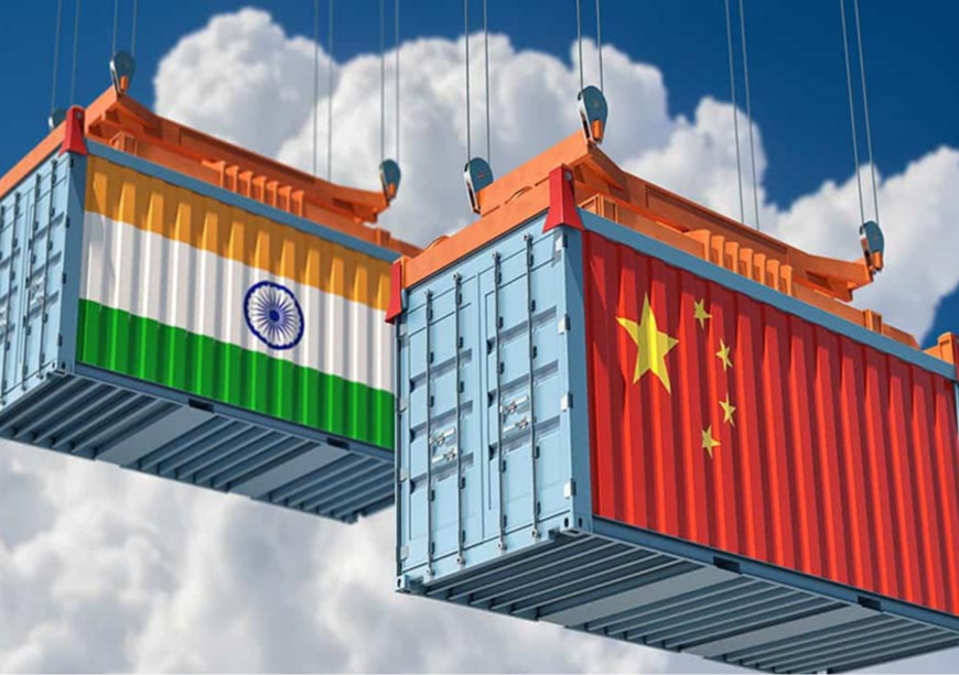
टैरिफ का सबसे प्रत्यक्ष प्रभाव उपभोक्ताओं पर पड़ेगा। अमेरिकी उत्पादों पर 125% टैरिफ से चीन में इनकी कीमतें बढ़ेंगी, जिससे उपभोक्ताओं को अधिक खर्च करना पड़ेगा। इसी तरह, अमेरिका में चीनी उत्पादों पर उच्च टैरिफ के कारण वहां भी कीमतें बढ़ेंगी। इससे दोनों देशों में मुद्रास्फीति बढ़ने का खतरा है।
3. अन्य देशों पर प्रभाव
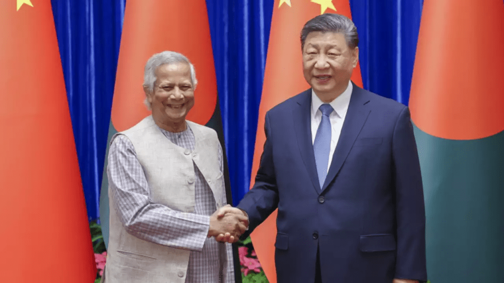
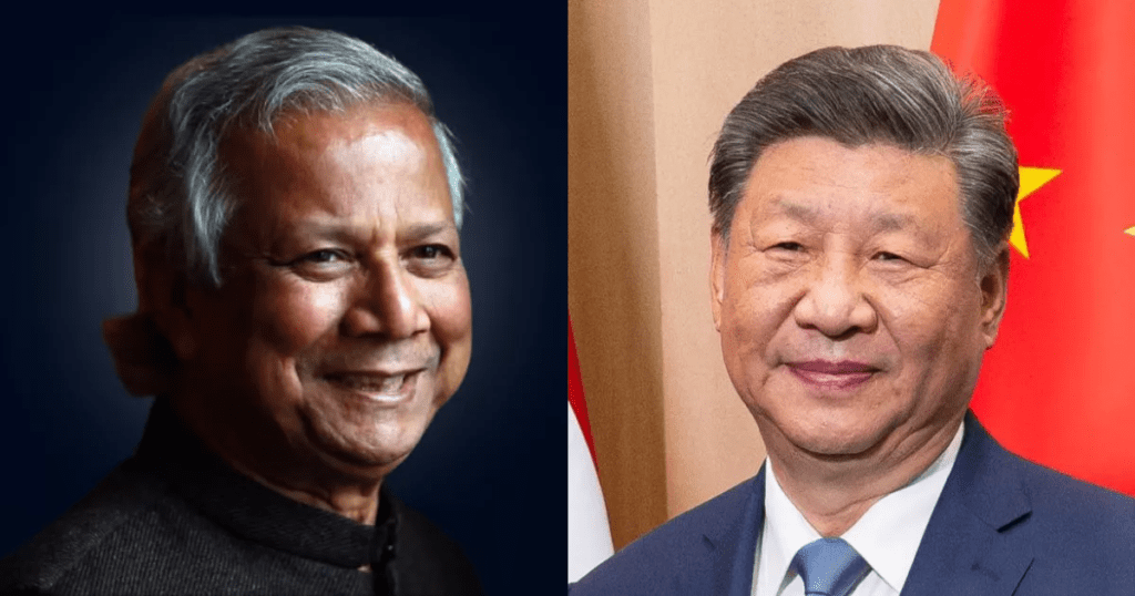
यह व्यापार युद्ध केवल चीन और अमेरिका तक सीमित नहीं रहेगा। अन्य देश जो इन दोनों अर्थव्यवस्थाओं पर निर्भर हैं, जैसे कि भारत, जापान, और यूरोपीय संघ, भी प्रभावित होंगे। उदाहरण के लिए, भारत जैसे देशों को अपने निर्यात को फिर से संरेखित करने और नए व्यापार समझौतों पर विचार करने की आवश्यकता हो सकती है।
4. वैश्विक आर्थिक मंदी का जोखिम
विश्व बैंक और अंतरराष्ट्रीय मुद्रा कोष ने पहले ही चेतावनी दी है कि व्यापार युद्ध वैश्विक आर्थिक विकास को धीमा कर सकता है। चीन और अमेरिका के बीच बढ़ता तनाव निवेशकों के विश्वास को कम कर सकता है, जिससे शेयर बाजारों में अस्थिरता और पूंजी प्रवाह में कमी आ सकती है।
उद्योग-विशिष्ट प्रभाव
1. कृषि
अमेरिकी कृषि उत्पाद, जैसे सोयाबीन, मक्का, और पोर्क, चीन के लिए महत्वपूर्ण निर्यात हैं। 125% टैरिफ से इन उत्पादों की कीमतें बढ़ेंगी, जिससे चीनी आयातक ब्राजील और अर्जेंटीना जैसे अन्य देशों की ओर रुख कर सकते हैं। इससे अमेरिकी किसानों को भारी नुकसान होगा।
2. प्रौद्योगिकी
प्रौद्योगिकी क्षेत्र भी इस व्यापार युद्ध से अछूता नहीं रहेगा। अमेरिकी चिप निर्माता जैसे NVIDIA और Intel, जो चीनी बाजार पर निर्भर हैं, को अपनी बिक्री में कमी का सामना करना पड़ सकता है। दूसरी ओर, चीन अपनी स्वदेशी चिप निर्माण क्षमता को बढ़ाने पर ध्यान दे रहा है, जो लंबे समय में वैश्विक तकनीकी प्रतिस्पर्धा को बदल सकता है।
3. ऑटोमोबाइल
अमेरिकी ऑटोमोबाइल कंपनियां जैसे Ford और General Motors चीन में बड़े पैमाने पर बिक्री करती हैं। उच्च टैरिफ से इन वाहनों की कीमतें बढ़ेंगी, जिससे उनकी प्रतिस्पर्धात्मकता कम हो सकती है।

भविष्य की संभावनाएं
चीन और अमेरिका के बीच व्यापार युद्ध का यह नया दौर कई दिशाओं में जा सकता है। कुछ संभावित परिदृश्य निम्नलिखित हैं:
- बातचीत और समझौता: दोनों देशों के बीच तनाव कम करने के लिए व्यापार वार्ताएं फिर से शुरू हो सकती हैं। हालांकि, वर्तमान राजनीतिक माहौल को देखते हुए यह मुश्किल लगता है।
- क्षेत्रीय व्यापार ब्लॉक का उदय: उच्च टैरिफ से दोनों देश क्षेत्रीय व्यापार समझौतों पर अधिक ध्यान दे सकते हैं। उदाहरण के लिए, चीन RCEP (Regional Comprehensive Economic Partnership) के माध्यम से एशियाई देशों के साथ अपने संबंधों को मजबूत कर सकता है, जबकि अमेरिका CPTPP (Comprehensive and Progressive Agreement for Trans-Pacific Partnership) में शामिल होने पर विचार कर सकता है।
- आर्थिक अलगाव: सबसे खराब स्थिति में, दोनों देश एक-दूसरे से आर्थिक रूप से अलग हो सकते हैं, जिससे वैश्विक अर्थव्यवस्था दो खेमों में बंट सकती है। यह दीर्घकालिक स्थिरता के लिए हानिकारक होगा।
चीन द्वारा अमेरिकी वस्तुओं पर टैरिफ को 125% तक बढ़ाने का निर्णय वैश्विक व्यापार युद्ध में एक नया और खतरनाक मोड़ है। यह कदम न केवल दोनों देशों के बीच आर्थिक संबंधों को प्रभावित करेगा, बल्कि वैश्विक आपूर्ति श्रृंखलाओं, उपभोक्ता कीमतों, और आर्थिक स्थिरता पर भी गहरा असर डालेगा। इस स्थिति में, अन्य देशों को सावधानीपूर्वक अपनी नीतियों को संरेखित करना होगा ताकि वे इस अस्थिरता का सामना कर सकें।
आने वाले महीनों में, यह देखना महत्वपूर्ण होगा कि क्या दोनों देश तनाव कम करने के लिए बातचीत की मेज पर लौटते हैं या यह व्यापार युद्ध और गहरा होता है। एक बात निश्चित है—वैश्विक अर्थव्यवस्था इस युद्ध के परिणामों से अछूती नहीं रहेगी। क्या आप इस व्यापार युद्ध के प्रभावों को लेकर चिंतित हैं? अपने विचार कमेंट में साझा करें!