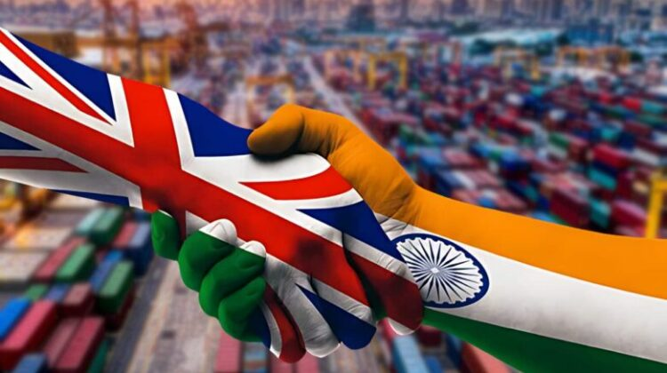
International news: China tried to increase tension with Taiwan, Fearing a major agreement between India and Britain being postponed

International news: China tried to increase tension with Taiwan, Fearing a major agreement between India and Britain being postponed

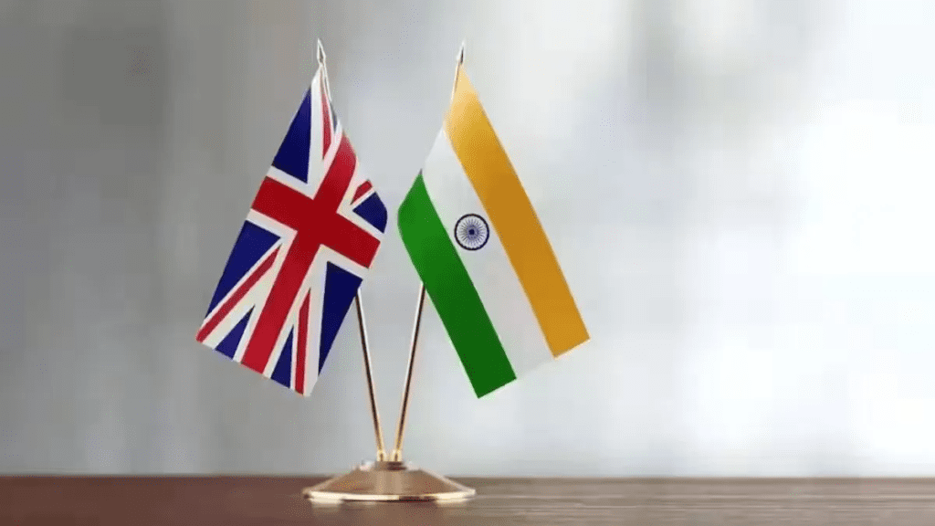
Possibility of postponing FTA between India and Britain
china

Political analysts and strategy experts have expressed confidence that whatever the outcome, there will be no significant change in bilateral relations between the two countries. The FTA agreement was expected to be done under the Conservative Party government led by Rishi SunSunak. Now, due to the announcement of general elections, there is a possibility of postponement for some time. Negotiations regarding the FTA between India and Britain started in January 2022, and its objective is to increase bilateral trade. At present, there is a trade of about 38 billion pounds per year between the two countries.

Read also: IPL 2024: Rajasthan Royals kept title quest alive by defeating Bengaluru by 4 wickets

In most of the pre-election surveys, Britain’s opposition Labor Party is ahead. Although the Labor Party has committed to finalizing the FTA agreement between India and Britain, nothing can be said about its time limit. Rahul Roy Chowdhury, senior fellow for South and Central Asia defence, strategy, and diplomacy at the International Institute for Strategic Studies, a think tank in London, said that Rishi Sunak has surprised everyone by announcing elections on July 4.

Due to this, the possibility of the Conservative government finalizing the much-awaited FTA agreement with India has ended for some time. Dr. C. Vajpayee, Senior Research Fellow, South Asia, Indo-Pacific Program at Chatham House, a British think tank, said that whatever the outcome of the elections in Britain, there should be continuity in its relations with India.

China tried to increase tension through maneuvers
china

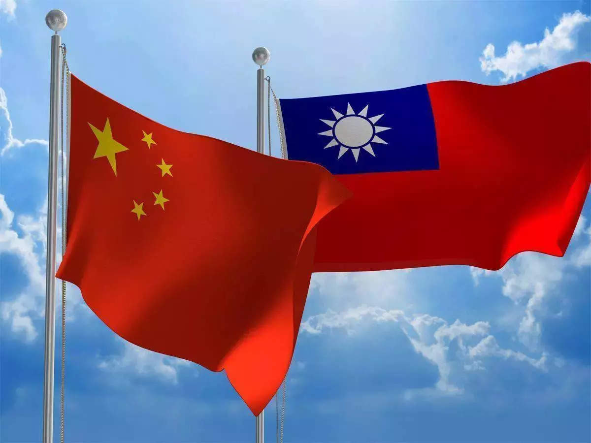
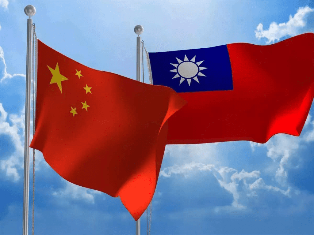
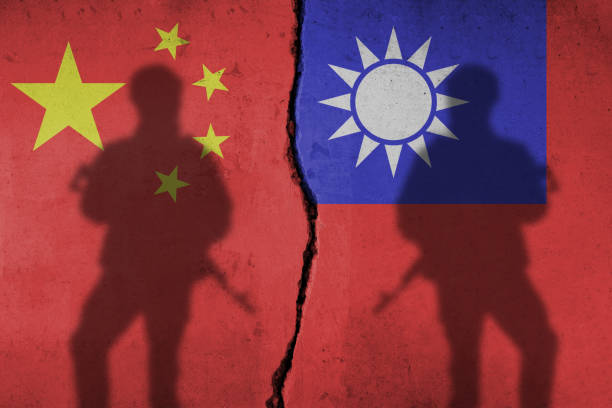
China has warned Taiwan of war on Friday. China said that it will continue to retaliate until Taiwan is fully integrated into China. On the second day of the war exercise, Chinese warships and fighter planes surrounded Taiwan and practiced. China’s army has started a two-day exercise on Thursday.

China started this exercise 3 days after Taiwan’s 8th President Lai Ching Te took office and delivered the inaugural address. China condemned Lai Ching Te’s inaugural speech. China’s Defense Ministry spokesman Wu Qian said that Lai Ching Te has seriously challenged the One China principle. Taiwan has pushed our compatriots into a dangerous situation of war and danger. Every time Taiwan independence provokes us, we will take our countermeasures one step further.

Li Xi, spokesman for the People’s Liberation Army Eastern Theater Command, said they are testing the capability of joint seizure of power, joint attack and control of key areas. Taiwan’s Defense Ministry said it had detected the presence of 49 warplanes and 19 naval ships as well as a Chinese coast guard ship.

Was the helicopter of Iran’s President attacked?

The helicopter in which Iranian President Ebrahim Raisi was traveling caught fire as soon as it crashed; there is no indication yet that the helicopter was attacked. Apart from President Raisi, six other people including Iran’s Foreign Minister were also killed in the accident last Sunday. A statement from the General Staff of the Armed Forces, which is investigating the accident, was broadcast on state television channels late Thursday night. In the first statement issued regarding the accident, no one has been held guilty, but it has been said that more information will be available after further investigation.

United Nations orders Israel to stop military operations
china

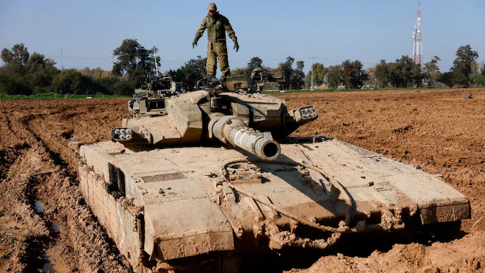
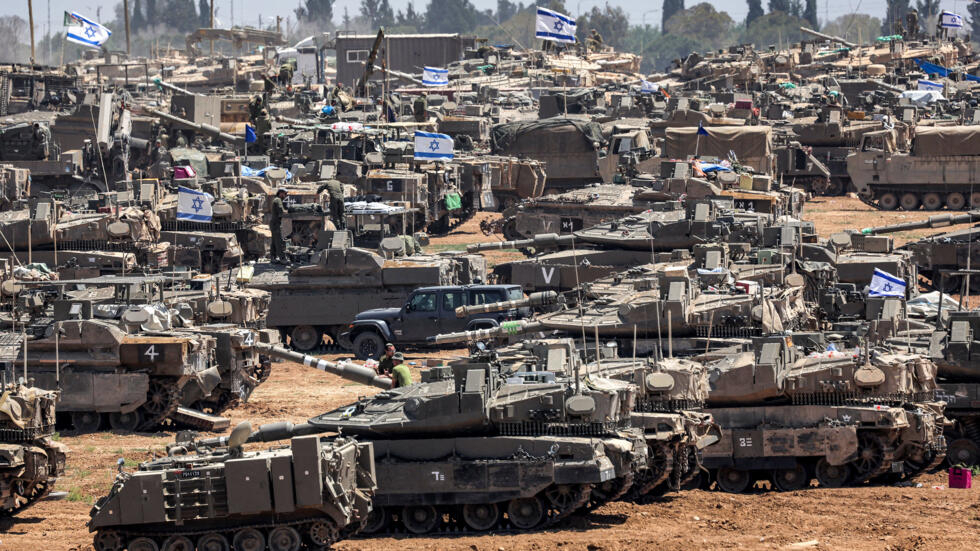
The top UN court has ordered Israel to stop its military operation in Rafah, a city south of Gaza. On which Israel says that it has every right to protect itself from the terrorists of Hamas and there is no possibility of Israel following this decision of the United Nations because for Israel, first of all its duty is to protect itself.

Read more: British Prime Minister Rishi Sunak takes time away amid mass exodus of MPs
अंतर्राष्ट्रीय खबरें: चीन ने ताइवान के साथ तनाव बढ़ाने की कोशिश की, भारत और ब्रिटेन के बीच बड़ा समझौता टलने की आशंका

अंतर्राष्ट्रीय खबरें: चीन ने ताइवान के साथ तनाव बढ़ाने की कोशिश की, भारत और ब्रिटेन के बीच बड़ा समझौता टलने की आशंका

भारत और ब्रिटेन के बीच एफटीए टलने की समभावना

चीन

ब्रिटेन के प्रधानमंत्री ऋषि सुनक द्वारा 4 जुलाई को देश में आम चुनाव कराए जाने की अचानक घोषणा किए जाने के बाद भारत और ब्रिटेन के बीच मुक्त व्यापार समझौता यानी एफटीए टलने की आशंका है| ब्रिटेन में आम चुनाव से ठीक 1 महीने पहले 4 जून को भारत में लोकसभा चुनाव के नतीजे जारी किए जाएंगे|

हालांकि राजनीतिक विश्लेषकों और रणनीति विशेषज्ञों ने भरोसा जताया है कि परिणाम भले ही कुछ भी हो, दोनों देशों के द्विपक्षीय संबंधों में कोई खास बदलाव नहीं होगा, लेकिन जो एफटीए समझौता ऋषि सुनक के नेतृत्व वाली कंजर्वेटिव पार्टी की सरकार में होने की उम्मीद थी, उसके अब आम चुनाव की घोषणा के कारण कुछ समय के लिए टलने की आशंका है| भारत और ब्रिटेन के बीच एफटीए को लेकर बातचीत जनवरी 2022 में शुरू हुई थी और इसका उद्देश्य द्विपक्षीय व्यापार को बढ़ाना है| इस समय में दोनों देशों के बीच एक साल में करीब 38 अरब पाउंड का व्यापार होता है|

ये भी पढ़ें: आईपीएल 2024: राजस्थान रॉयल्स ने बेंगलुरु को 4 विकेट से हराकर जीवंत रखी ख़िताब की चाह

चुनाव से पहले के अधिकतर सर्वेक्षणों में ब्रिटेन का विपक्षी दल लेबर पार्टी आगे दिख रही है| हालांकि लेबर पार्टी ने भारत और ब्रिटैन के एफटीए समझौते को अंतिम रूप देने की प्रतिबद्धता जताई है लेकिन इसकी समय सीमा को लेकर कुछ कहा नहीं जा सकता है| लंदन के थिंक टैंक इंटरनेशनल इंस्टीट्यूट फॉर स्ट्रैटेजिक स्टडीज में दक्षिण और मध्य एशिया रक्षा, रणनीति और कूटनीति संबंधी मामलों के वरिष्ठ फेलो राहुल रॉय चौधरी ने बताया कि ऋषि सुनक ने 4 जुलाई को चुनाव कराने की घोषणा करके सभी को अचंभित कर दिया है|

इसके कारण कंजर्वेटिव सरकार द्वारा भारत के साथ बहुप्रतीक्षित एफटीए समझौते को अंतिम रूप दिए जाने की संभावना कुछ समय के लिए खत्म हो गई है| ब्रिटेन के थिंक टैंक चैथम हाउस में दक्षिण एशिया, इंडो-पैसिफिक कार्यक्रम के वरिष्ठ शोध फेलो डॉक्टर सी वाजपेई ने कहा कि ब्रिटेन में चुनाव के नतीजे कुछ भी हो, उसके भारत से संबंधों में निरंतरता होनी चाहिए|

युद्धाभ्यास से चीन ने तनाव बढ़ाने की कोशिश की

चीन

चीन ने शुक्रवार को ताइवान को युद्ध की चेतावनी दे दी है| चीन कहा कि जब तक ताइवान का चीन में पूर्ण एकीकरण नहीं हो जाता है, तब तक वह जवाबी कार्रवाई करता रहेगा| युद्ध अभ्यास के दूसरे दिन भी चीन के युद्धपोतों और लड़ाकू विमानों ने ताइवान को घेर कर अभ्यास किया| चीन की सेना ने गुरुवार को दो दिवसीय युद्धाभ्यास शुरू किया है|

चीन ने यह युद्धाभ्यास ताइवान के 8वे राष्ट्रपति लाई चिंग ते के पदभार ग्रहण करने और उद्घाटन भाषण देने के 3 दिन बाद शुरू किया गया| चीन ने लाई चिंग ते के उद्घाटन भाषण की निंदा क| चीन के रक्षा मंत्रालय के प्रवक्ता वू कियान ने कहा कि लाई चिंग ते ने एक चीन सिद्धांत को गंभीरता से चुनौती दी है| ताइवान ने हमारे हमवतन लोगों को युद्ध और खतरे की खतरनाक स्थिति में धकेल दिया है| हर बार ताइवान की आजादी हमें उकसाती है, हम अपने जवाबी कदमों को एक कदम और आगे बढ़ाएंगे|

पीपुल्स लिबरेशन आर्मी ईस्टर्न थिएटर कमांड के प्रवक्ता ली शी ने कहा कि वह सत्ता पर संयुक्त कब्जा, संयुक्त हमले और प्रमुख क्षेत्रों पर नियंत्रण की क्षमता का परीक्षण कर रहे हैं| ताइवान के रक्षा मंत्रालय ने बताया कि उसे 49 युद्धक विमान और 19 नौसैन्य पोत के साथ-साथ चीनी तटरक्षक जहाज के होने का भी पता चला है|

क्या ईरान के राष्ट्रपति के हेलीकॉप्टर पर हुआ था हमला?

ईरान के राष्ट्रपति इब्राहिम रईसी जिस हेलीकॉप्टर में सवार थे उसमें दुर्घटनाग्रस्त होते ही आग लग गई थी, इस बात का अभी तक कोई संकेत नहीं मिल पाया है कि उस हेलीकाप्टर पर कोई हमला किया गया था| दुर्घटना में पिछले रविवार को राष्ट्रपति रईसी के अलावा ईरान के विदेश मंत्री सहित छह अन्य लोगों की भी मौत हो गई थी| दुर्घटना की जांच कर रहे सशस्त्र बलों के जनरल स्टाफ का बयान गुरुवार देर रात सरकारी टेलीविजन चैनलों पर प्रसारित किया गया| दुर्घटना को लेकर जारी किये गए पहले बयान में किसी को दोषी नहीं ठहराया गया है, लेकिन कहा गया है कि आगे की जांच के बाद और जानकारी मिलेगी|

संयुक्त राष्ट्र ने इजरायल को सैन्य अभियान रोकने का दिया आदेश

चीन

संयुक्त राष्ट्र की शीर्ष अदालत ने इजराइल को गाजा के दक्षिण स्थित शहर राफा में अपने सैन्य अभियान को रोकने का आदेश दिया है| जिसपर इजरायल का कहना है कि उसे हमास के आतंकवादियों से खुद की रक्षा करने का पूरा अधिकार है और इजरायल के द्वारा संयुक्त राष्ट्र के इस फैसले का पालन करने की संभावना बिलकुल भी नहीं है क्योंकि इजरायल के लिए सबसे पहले उसका कर्त्तव्य स्वयं की रक्षा का है|

और पढ़ें: पड़ोसी देश ताइवान पर हमला करेगा ड्रैगन?

विश्व भूगोल

विश्व भूगोल

विश्व

विश्व भूगोल: मिस्र, फोनीशियन और चीनी भौगोलिक समझ जैसी प्राचीन संस्कृतियाँ, लेकिन उनमें से कुछ ही अभिलेख बचे हैं, और इसलिए यूनानी आज के प्रारंभिक ज्ञान का मुख्य स्रोत बन गए हैं। होमर के महाकाव्य, द लियाड और द ओडिसी, नौवीं शताब्दी ईसा पूर्व में वापस आते हैं। वे यूनानियों को दुभाषियों, यात्रियों और दूर देशों के पर्यवेक्षकों के रूप में प्रकट करते हैं। वे वैज्ञानिक जांच में भी उत्कृष्ट थे।

15वीं, 16वीं और 17वीं शताब्दी में यूरोपीय और एशियाई दोनों खोजकर्ताओं द्वारा अन्वेषण के उत्कर्ष के दौरान भूभौतिकी ज्ञान तेजी से उन्नत हुआ। प्रत्येक यात्रा में मानचित्रण, सर्वेक्षण और मसाला एकत्र करना स्टॉक गतिविधियाँ बन गईं।

Read also: ब्रह्मांड

21वीं सदी में, कुछ कंप्यूटर क्लिक से पृथ्वी की सतह के अधिकांश भाग की तस्वीरें या मानचित्र संबंधी जानकारी प्राप्त की जा सकती है। हम मानचित्र पर मार्ग दर्शाने की आवश्यकता के बिना, लगभग कहीं भी जाने के लिए दिशा-निर्देश प्राप्त करने की क्षमता को मान लेते हैं।

आधुनिक विज्ञान और सूचना संग्रहण ने भूगोलवेत्ताओं को पहले से कहीं अधिक अंतर्दृष्टि प्रदान की है, और आधुनिक तकनीक इसे दुनिया भर में साझा करने की अनुमति देती है, लेकिन कई लोगों के लिए, तथ्यों और शब्दों में संदर्भ का अभाव है। भूगोल की समझ, भौतिक और सांस्कृतिक दोनों, उस संदर्भ को और अधिक आवश्यक और महत्वपूर्ण बनाती है। वैश्विक बातचीत और पृथ्वी के भविष्य के लिए जिम्मेदारी साझा करना हम सभी को जोड़ता है।

विश्व

टॉलेमी/प्राचीन भूगोलवेत्ता

ग्रीक वंश के मिस्र में जन्मे क्लॉडियस टॉलेमी (लगभग 90-168 ई.) ने कार्टोग्राफी, गणित और खगोल विज्ञान के ग्रीक-रोमन विश्व ज्ञान को संश्लेषित करने वाले कार्य का एक समूह बनाया। उनके आठवें खंड, भूगोल, ने विश्व मानचित्र और 26 क्षेत्रीय मानचित्रों सहित एक शब्द मानचित्र तैयार करने के लिए निर्देश और जानकारी प्रदान की।

उन्होंने कई मानचित्र प्रक्षेपण भी खोजे और लगभग 8,000 स्थानों के नाम और उनके निर्देशांक की एक सूची प्रदान की। अल्मागेस्ट, सौर मंडल के खगोल-भौगोलिक मॉडल पर उनका 13-खंड का ग्रंथ, और उनकी चार पुस्तकें ट्रट्राबिब्लोस ने ज्योतिष को अधिक वैज्ञानिक मामले के साथ समेटने की कोशिश की, जो इस्लामी विद्वानों द्वारा किए गए अरबी अनुवादों के माध्यम से फैला और पूर्वी और पश्चिमी भूगोल और कार्टोग्राफी विचारों को प्रभावित किया।

भूगोल का दायरा

आज विश्व भूगोल स्थान में निहित है, लेकिन इसमें मानचित्र पर स्थान के नामों की स्थिति से कहीं अधिक शामिल है; यह कई अलग-अलग विषयों के तरीकों और ज्ञान को एकीकृत करता है, और आय भौतिक और सामाजिक विज्ञान दोनों से होकर गुजरती है। यह निर्धारित करने के लिए इन सभी विषयों का उपयोग करता है। चीज़ें किसी विशेष स्थान पर या विशेष स्थानिक पैटर्न के अनुसार क्यों घटित होती हैं?

कॉर्पोरेट भूविज्ञान और जलवायु विज्ञान, जीव विज्ञान, पारिस्थितिकी, जल विज्ञान और अन्य प्राकृतिक विज्ञानों में भौतिक भूगोल। मानव विश्व भूगोल में समाजशास्त्र, अर्थशास्त्र, राजनीति विज्ञान, इतिहास, जनसांख्यिकी और अन्य सामाजिक विज्ञान शामिल हैं। कार्टोग्राफी, जो मानचित्र बनाने की कला और विज्ञान है, भौगोलिक सेटिंग्स का ग्राफिक प्रतिनिधित्व प्रदान करती है।

विश्व भूगोलवेत्ता अपने डेटा एकत्रीकरण, विश्लेषण और प्रतिनिधित्व में अन्य उपकरणों का भी उपयोग करते हैं, जिनमें सांख्यिकीय तस्वीरें, दूर से खींची गई छवियां जैसे उपग्रह तस्वीरें और कंप्यूटर-जनित ग्राफिक्स शामिल हैं।

विश्व

मानचित्रों में विश्व

सोचिए कि एक संतरे को छीलना और उसके छिलके के टुकड़ों को मेज पर दबाकर रखना कितना कठिन है। यह सादृश्य मानचित्र निर्माता के सामने आने वाली चुनौती का प्रतिनिधित्व करता है, जो गोलाकार ग्रह पृथ्वी को एक सपाट दृश्य प्रतिनिधित्व में बदलने का प्रयास करता है। किसी गोले की सतह को जीवंत बनाने की चुनौती से निपटने के लिए, सपाट मानचित्रकार उन आकृतियों का उपयोग करते हैं जो खुद को समतल करने में सक्षम होती हैं, जैसे योजनाएं और सिलेंडर जिन्हें विकास योग्य सतहों के रूप में जाना जाता है।

विकास योग्य सतहों पर गणितीय गणना लागू करके, वे पृथ्वी की विशेषताओं को सपाट रूपों में बदल सकते हैं। उन रूपों को प्रक्षेपण कहा जाता है और वे मानचित्र-निर्माण की चुनौती का प्रतिनिधित्व करते हैं।

सदियों से, प्रक्षेपण अनिवार्य रूप से होते रहे हैं और परिणामस्वरूप विकृतियाँ होती हैं। मानचित्र आकार की पसंद से उन विकृतियों को कुछ हद तक नियंत्रित किया जा सकता है, जो इस बात पर निर्भर करता है कि मानचित्रकार के माध्यम से ग्रह का कौन सा हिस्सा सबसे अधिक रुचि रखता है।

केवल वहीं मानचित्र पूरी तरह से सटीक होगा जहां सतह सीधे ग्लोब को छूती है। संपर्क के इन बिंदुओं से दूर, पृथ्वी की विशेषताएं सपाट होने के लिए खिंची हुई या सिकुड़ी हुई हो जाती हैं।

Read more: Geography

THE WORLD GEOGRAPHY

THE WORLD GEOGRAPHY

WORLD

Ancient cultures such as the Egyptian, Phoenician, and Chinese geographical understanding, but few of those records survive, and so the Greeks have become today’s main source of early knowledge. Homers epics, The Liad and the Odyssey, return in the ninth century BC. They reveal the Greeks as interpreters, travelers, and observers of distant lands. They also excelled in scientific inquiry.

Geophysics knowledge advanced exponentially during the heyday of exploration by both European and Asian explorers in the 15th, 16th, and 17th centuries. Mapping, surveying, and spice collecting became stock activities on every voyage.

Read also: ब्रह्मांड

In the 21st century, a few computer clicks can bring photos or map information to much of the earth’s surface. We take for granted the ability to get directions to almost anywhere we need to go, without needing to plot the course on a map.

Modern science and information gathering have given geographers more insight then ever before, and modern technology allows it to be shared world-wide, but for many people, facts and terms lack context. An understanding of geography, both physical and cultural, makes that context ever more necessary and important. Global interactions and sharing responsibility for the earth’s future connect us all.

WORLD

Ptolemy / ANCIENT GEOGRAPHER

Born in Egypt of a Greek family, Claudius Ptolemy (ca. A.D. 90–168) created a body of work synthesizing the Greco-Roman world knowledge of cartography, mathematics, and astronomy. His eighth volume, Geography, offered instructions and information for preparing a word map, including a world map and 26 regional maps. He also found a number of map projections and provided a list of some 8,000 place names and their coordinates. Almagest, his 13-volume treatise on the astronomy-geocentric model of the solar system, and his four books, Tetrabiblos, tried to Reconcile astrology with more scientific matter Spread through Arabic translations made by Islamic scholars and influenced near eastern and western geography and cartography thoughts for centuries.

THE SCOPE OF GEOGRAPHY

Today, the world is rooted in location, but it involves more than just the position of place names on a map; it integrates methods and knowledge from many different disciplines, and income passes through both the physical and social sciences. It uses all these disciplines to determine why things occur in a specific area or as per specific spatial examples?.

Physical geography in corporate geology and climatology, biology, ecology, hydrology, and other natural sciences. Human geography includes sociology, economics, political science, history, demography, and other social sciences. Cartography, which is the art and science of making maps, provides graphic representations of geographic settings.

The World Geographers also use other tools in their data gathering, analysis, and representation, including statistical photographs, remotely captured images such as satellite photos, and computer-generated graphics.

WORLD

THE WORLD IN MAPS

Think of how hard it is to peel an orange and press the resulting pieces of peel down flat on a table. That analogy represents the challenge faced by the map maker, who attempt to turn the spherical planet earth into a flat visual representation. To handle the test of getting the outer layer of a circle to life, level map makers use shapes that lend themselves to straightening, for example, plans and chambers known as developable surfaces.

By applying numerical estimations to the developable surfaces, they can change earth highlights into level structures. Those forms are called projections and represent the challenge of map-making.

Through the centuries, projections have inevitably resulted in distortions. Those distortions can be controlled to some degree by the choice of map shape, which depends on which part of the planet is of most interest to the cartographer.

Only where the surface directly touches the globe will the map be completely accurate. Away from these points of contact, earthen features become stretched or squeezed in order to become flat.

Read more: Geography